070 #urbandata

Building on the interest in urban data projects described on this blog before, this post goes into some more depth about what we are up to at Cividi, a startup building digital tools and open data sources for civic urbanism.

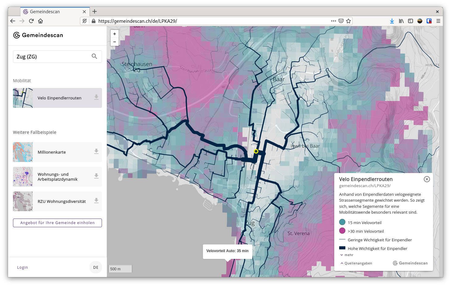
Announced on the open data forum last week, the Spatial Data Package viewer is an open source project that builds on and advances the state-of-the-art data publication initiative Frictionless Data, an evolutionary way of working with data publication in a distributed way, that is being managed by Open Knowledge Foundation.
The project uses Geospatial Data Packages, which combine the widely used taxonomy of the CKAN APIs, the web friendliness of JSON for Linking Data, and the versatility of GeoJSON to create powerful workflows around easy to use, freely accessible and portable geospatial tools. It powers Gemeindescan.ch, a new portal for projects of political and urban concern.
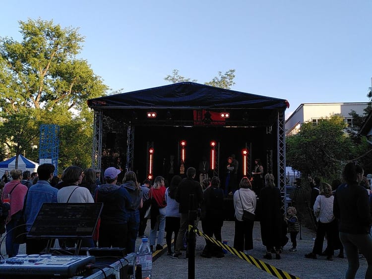
The project's announcement coincided with Open Data Beer #11 in Basel, where we saw compelling groundwork happening on the government and research side in making spatially relevant, near-real-time datasets protected and useful in new and more open contexts.
Oliver Thommen from the Statistical Office introduces the challenges of working with raw, frequently updated, spatially resolved population data while preserving privacy in the first talk of tonight's @opendatabeerCH pic.twitter.com/WoT9wuuOPb
— Oleg Lavrovsky (@loleg) September 24, 2020
Population data could mean everything from births and deaths to changes of address, weddings, commercial and ownership registries, and other indicators of change of status among people. There are critical concerns about ensuring the data is protected. And a big drive in parallel to make the use of such data easier. Population data, in efforts such as establishing statistical trends or census-taking, is among the prime tools of democracy and governance.
Michael van Eggermond @FHNWTechnik deconstructs this tweet to open up his very compelling overview of the use of statistical data in spatial analysis and simulation @opendatabeerCH https://t.co/nw30HePXxM pic.twitter.com/nEtXHOknrr
— Oleg Lavrovsky (@loleg) September 24, 2020
As contended here, the scope of urban analysis is being rapidly widened, and with an ever-faster pace of change the need for transparency will rise. Questions of ensuring widespread and fair access will rise. The Gemeindescan portal can become a useful tool for sustainable municipalities, and I want to see this and many other civic tech projects like this supported by our community.
In addition to writing the whitepaper that outlines some of the pillars for this project and providing data-architectural guidance, I am working on various apps built on top of this platform. One of these is Streetwise, an urban data science collaboration with development consultants IVO AG, the University of Fribourg's Institute for Human-Centered Interaction, and Mapillary.
In unserem #streetwisespace crowdsourcing kann ab jetzt neben Sicherheit nun auch die Aufenthaltsqualität beurteilt werden. Mitmachen und mit ein wenig Glück ein iPhone 11 gewinnen: https://t.co/lbZPeAnkpk#streetwisespace #urbanisierung #machinelearning #raumwahrnehmung pic.twitter.com/uZzwUx1DlQ
— cividi (@cividitech) June 22, 2020
As a next step, I would like to encourage hackers at upcoming Open Data events to give this new viewer a try, make Spatial Data Packages available based on geo-tagged open data sources, and see our communities and regions mapped with the plethora of statistical, industrial and crowdsourced data available today. During the upcoming hackathons together with the Cividi team and other actors in the urban data space, we will put fuel on the fire of this discussion.


We are working on launching an urban data working group in the weeks ahead. Please see me at one of the upcoming events, or reach out if you are interested and would like to contribute.




 The works on this blog are licensed under a Creative Commons Attribution 4.0 International License